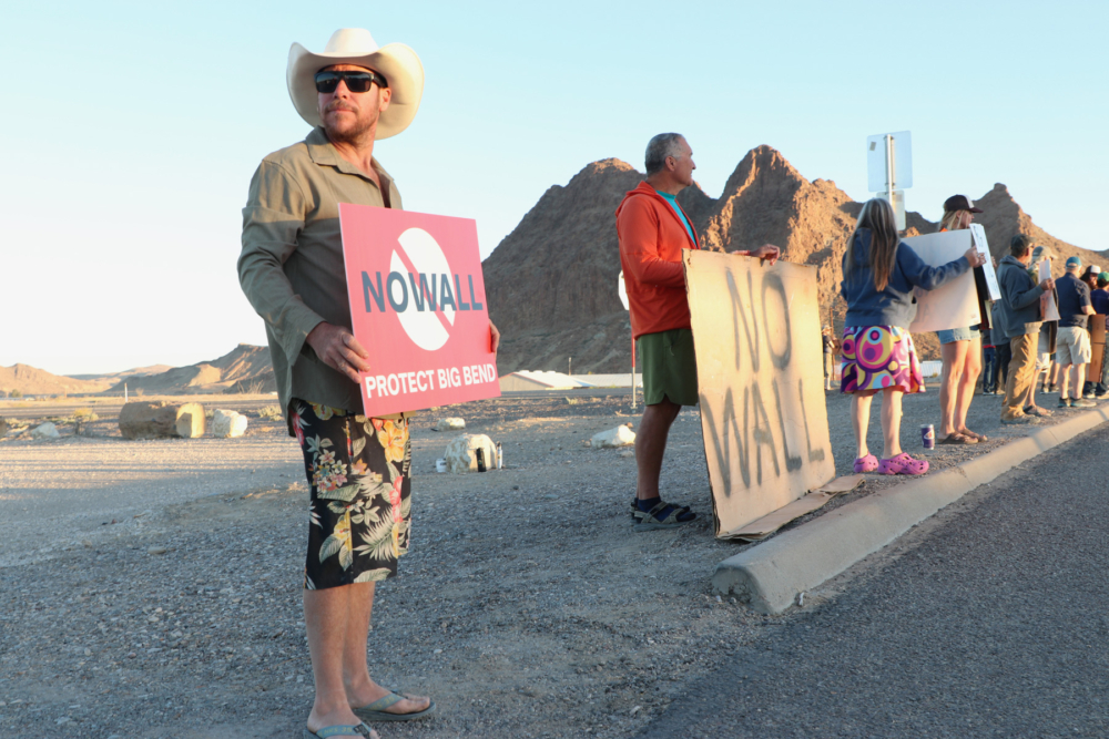
As the sun lightens the morning sky, ranchers and river guides, locals young and old, line up along a major road junction leading to Big Bend National Park. Some hold up signs they brought from home. Others hastily construct new ones from poster board and markers. A big pickup truck stops in front of the demonstrators and signals it wants to cut through the crowd. People part, allowing passage. The driver, wearing a weathered cowboy hat and work clothes, steps out of the cab and manipulates levers to deposit a shipping container in the middle of the parking area. On the side of the container hangs a banner with the words “No Wall” written in large font. With handshakes and smiles, he joins the pack of protestors.
A wall is the physical symbol of division—it’s meant to divide people. But in the Big Bend region of Texas, opposition to a wall along the Rio Grande River is unifying a diverse community.
In our modern world, the first wound on the land is not a blade cutting into the soil, but a pen drawn across a map. In February 2026, U.S. Customs and Border Patrol (CBP) released plans for “smart wall” border protection across the Big Bend region, with a potential for a 30-foot-high steel bollard barrier through Big Bend National Park, Big Bend Ranch State Park, Black Gap Wildlife Management Area, the Lower Canyons of the Rio Grande, and numerous private ranches and land holdings.
The funds for this project were already appropriated through the One Big Beautiful Bill Act. And, because the U.S.-Mexican border was declared a state of emergency on January 20th, 2025, laws designed to protect these areas and impede superfluous construction had been nullified. No public input was required or requested. The map was not a proposal but a prediction of what was to be accomplished over the next few months.
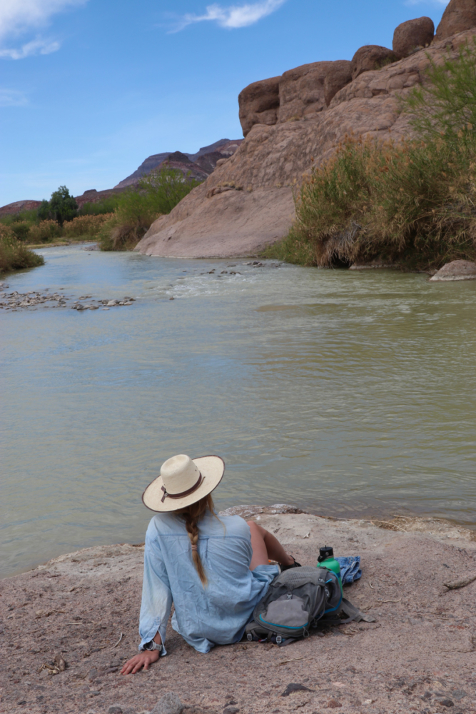
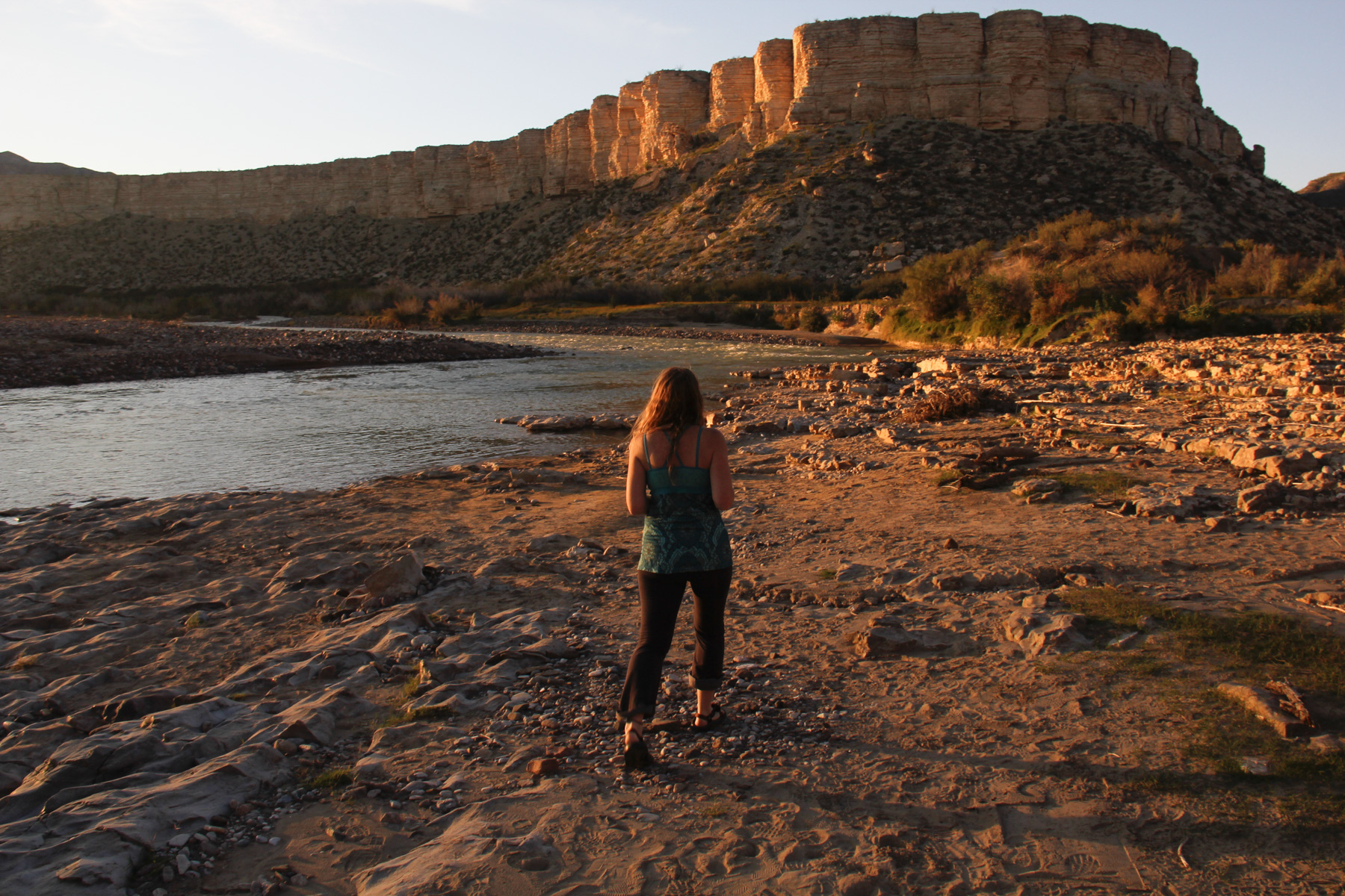
After the demonstration, a friend and I negotiate a rock slab and drop into a draw, making our way to the river for a picnic. We are in a portion of Big Bend Ranch State Park known as the Hoodoos because of its interesting rock formations. A slight breeze keeps the temperature pleasant, but the sun is intense. When the heat becomes too much, we take refuge in the river then crawl back up on the sunbaked rock, soaking in its warmth until it’s time to cool off again. Despite being the height of the spring break tourist season, we have a section of canyon to ourselves—a section of world to ourselves.
The cathedral where we are seeking solace doesn’t have stained glass. It has blue skies, green riparian corridors, blossoms of yellow prickly pear and red ocotillo, and rock walls that change colors with the rising and the setting of the sun. Big Bend Ranch State Park is the largest state park in Texas, encompassing approximately 311,000 acres. It is a spectacular destination on its own virtues and complements Big Bend National Park, located just downstream.
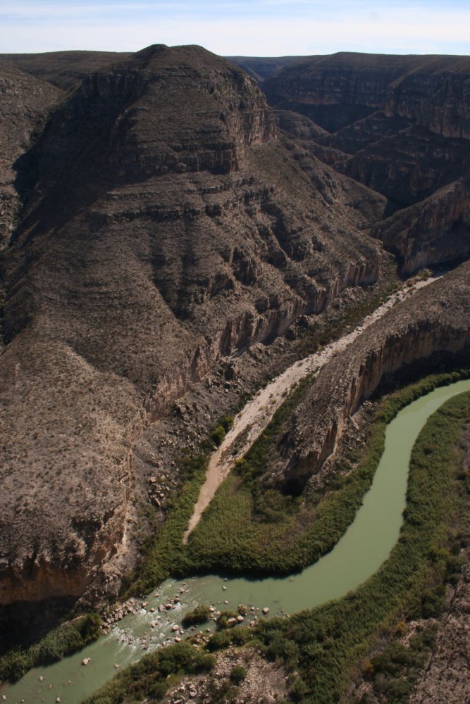
Even though the area is popular with locals and tourists alike, access to both parks, and many family ranches along the Big Bend region, would be impacted by border wall construction along the Rio Grande. In conjunction with the CBP maps release, residents started receiving letters about “eminent domain”—AKA the power of the government to seize private property and convert it for public use. Over 500 landowners could lose access to portions of their property and to the river. Contractors also began visiting the region this spring, trying to establish camps for their workers and locate large reliable water sources for concrete, which could demand thousands of gallons per mile of infrastructure.
The idea of housing being built for hundreds of workers and the concrete plants draining the aquifer adds to the shock value to the CBP plans. The areas affected by the wall are comprised of small communities with economies based on tourism and ranching. Many of the residents are off grid, using solar panels for power, rain catchment for water, and composting toilets for septic. In a region where resources are scarce, the few people who do have wells conserve their water, knowing it can be as temperamental as west Texas weather.
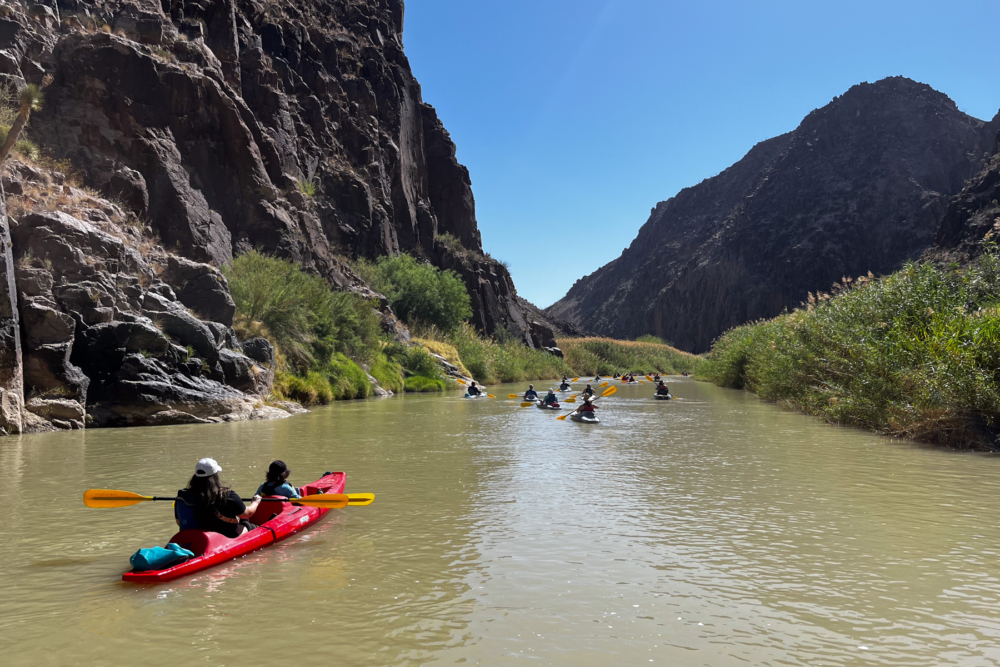
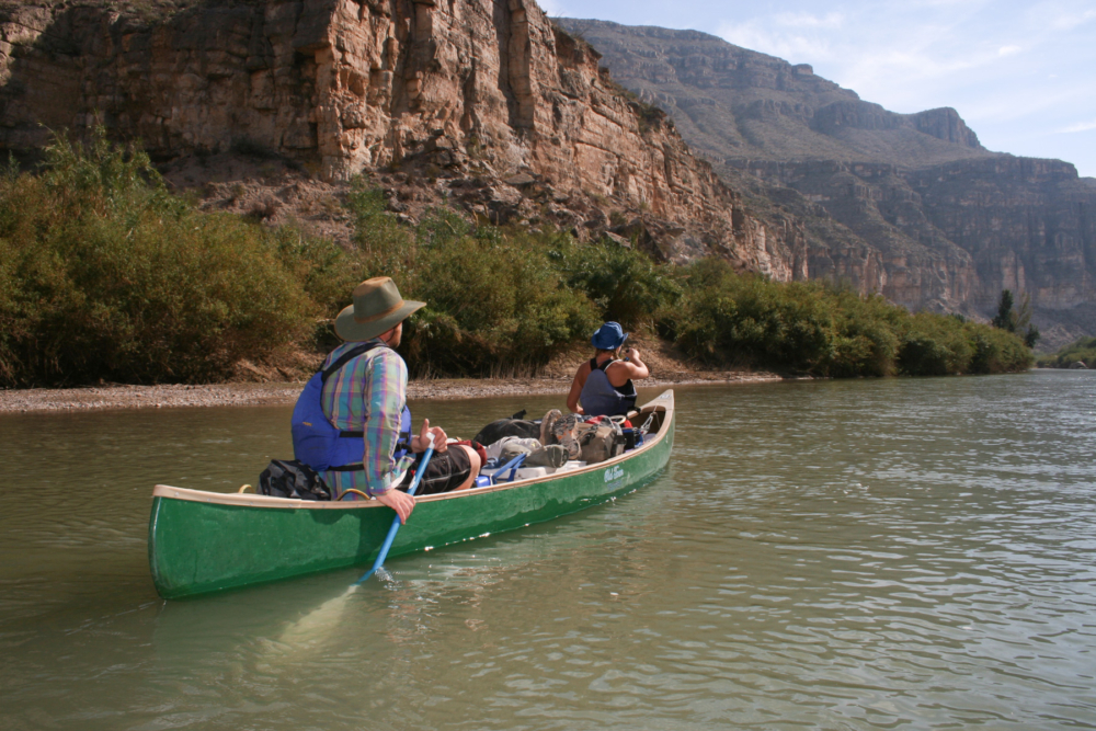
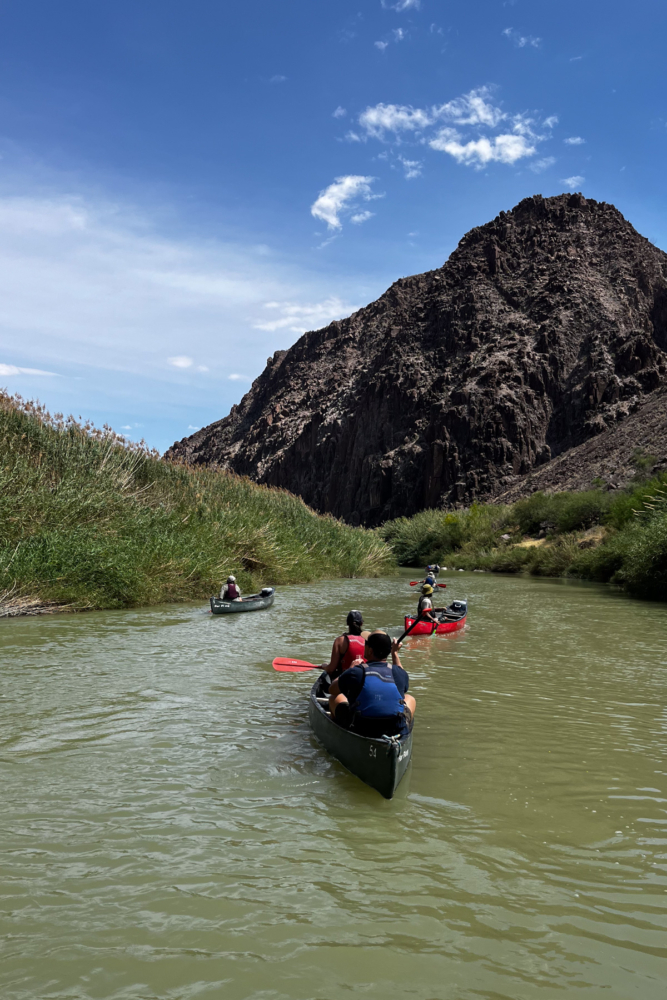
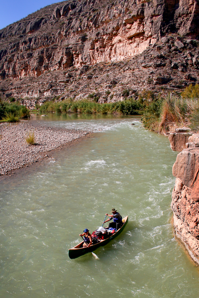
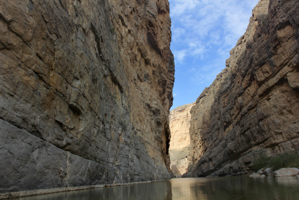
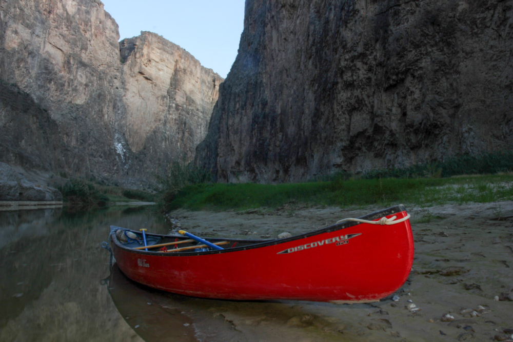
On another day, I am paddling through a portion of Big Bend Ranch State Park known as Dark Canyon. Laughter and conversations echo off rhyolite cliffs as an assortment of canoes and kayaks drift down the river. The Rio Grande corridor through Big Bend is a popular destination for recreational paddlers wanting to experience remote desert landscapes and pass under the shadows of vertical canyon walls, sometimes towering up to 1,500 feet. The region offers everything from day trips in Dark Canyon or Hot Springs Canyon, to three- to five-day trips in Santa Elena or Boquillas Canyons, to trips lasting over a week through the Lower Canyons or the Great Unknown.
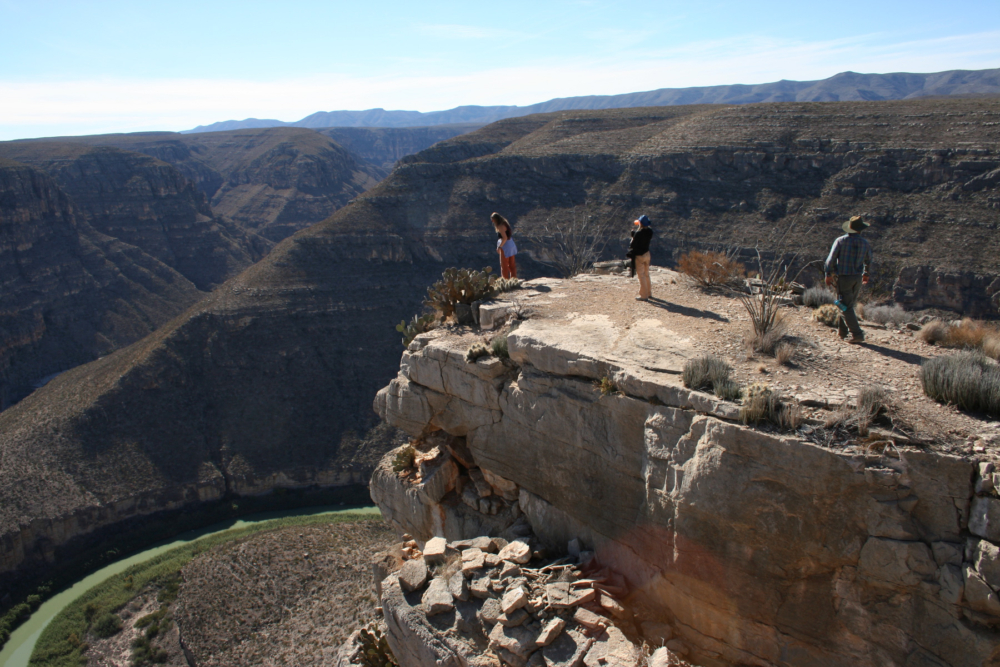
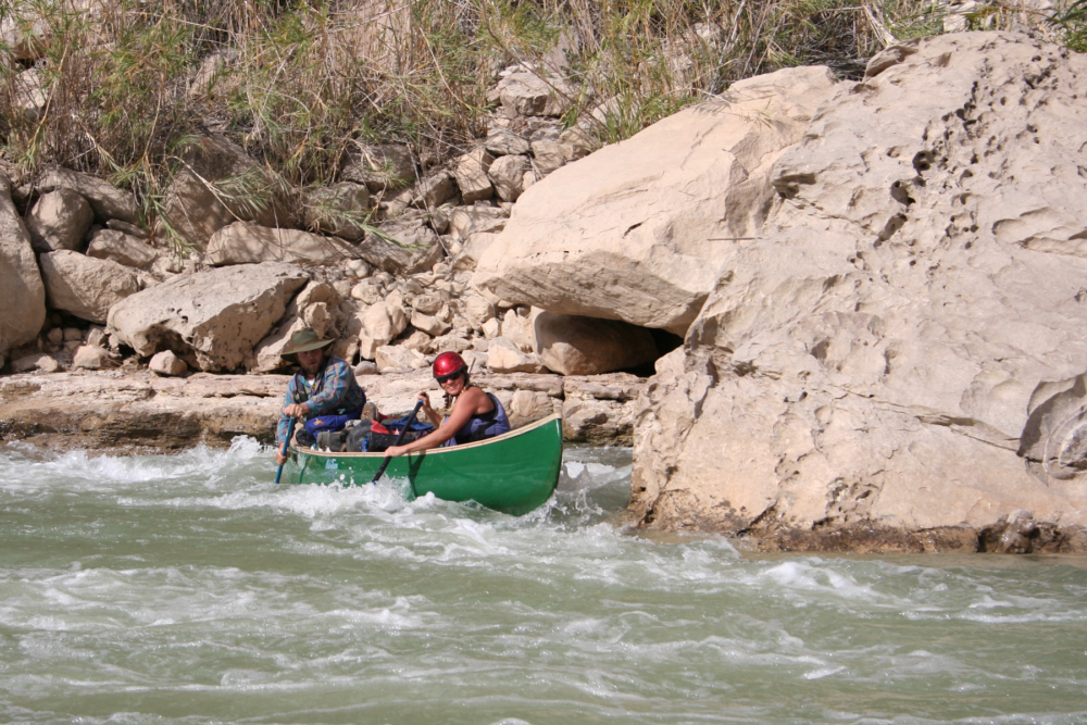
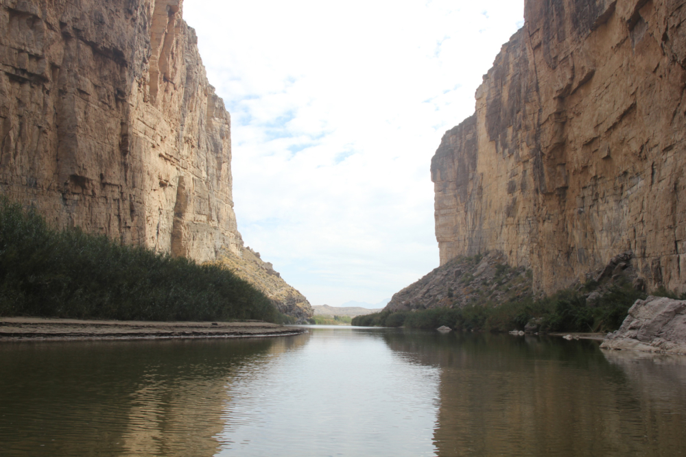
Many paddlers on the Rio Grande are oblivious to the international border they cross every time their boat cuts back and forth across the river. Historically, border policy along the more remote segments of the Rio Grande is considered a neutral zone. This is why the border patrol relies on ground sensors, cameras, drones, and checkpoints along established roads, rather than physical barriers. A person in a boat can get out on the Mexican side to stretch his or her legs, and a vaquero from one of the small Mexican communities may wade the river to retrieve stray livestock.
After 9/11, border security became stricter. But the river corridor through large sections of the Big Bend region remained wild. Steep canyon walls and miles of inhospitable terrain represent a more formidable barrier than any man-made structure. This is why people who are familiar with the Big Bend region are questioning why the CBP is proposing restricted access to many of these areas and destroying the sanctity of the land they love.
While security and illegal crossing have been an issue in more populated sections of the southern border, the Big Bend Sector, which covers over a quarter of the area, accounted for only 1.3% of migrant apprehensions according to 2025 data. During the height of the border surge under Biden, some urban sectors experienced almost as many illegal border crossings in a day as the Big Bend Sector saw in an entire year.
A report issued last December and published on the CBP website touts that measures taken by local immigration officials have reduced the number of apprehensions by 74% in 2025 compared to 2023. And in early March2026, five local sheriffs in the Big Bend sector released a statement against the proposed plans, saying that “construction of a continuous physical border wall in the Big Bend region would not represent the most practical or strategic approach to border security in this area.”
A border wall in this region threatens more than the parks and the wildlife that call them home, and the backlash has united folks from across the political spectrum. Within days of the CBP releasing its map of the wall, locals began to organize and communities reached out to their neighbors to combine efforts. Nonprofits were started, calls were made. The commercial companies offering Jeep tours, horseback rides, and river trips began distributing information to their guests. National news organizations descended onto the region. And a grassroots organization, No Big Bend Wall, began keeping tabs on meetings, events, and happenings related to the wall in the Big Bend Region.
In March, the plans were amended, and portions of the wall through Big Bend Ranch State Park, Big Bend National Park, and the Lower Canyons were changed to “detection technology.” Some news headlines and social media platforms announced that the threat to Big Bend National Park had been defeated.
But local activists are not celebrating or relinquishing their efforts. The fact that this change was made with no announcement, nor acknowledgement to the growing opposition, makes some people suspect that is just a ploy to divert attention. In addition, there are no specifics on what “detection technology” means.
For over 20 years, the CBP have been utilizing and array of discreet devices and monitoring tools in the Big Bend region. If the new plans correspond to other areas along the border, then there could also be additional roads, floodlights, and massive surveillance towers across the landscape. Such infrastructure would not only be an eyesore but have great environmental impacts similar to a solid physical barrier. And no mention was made for protection of the less-known public and private holdings that make up this region.
The most recent maps and statements being issued by the CBP are unclear, and conflict with the development and surveys being done in the area. Contractors are working on segments of the wall upstream of Big Bend Ranch State Park. Volunteers are racing to remove and protect rare cacti as heavy equipment clears large swaths of land for new roads and 17 miles of four- to six-foot-tall steel vehicle barrier within the National Park.
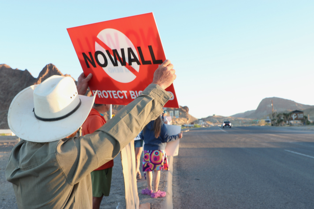
The people of the Big Bend region organizing protests, writing public officials, and shouting out to news organizations understand the threat to their home is not coming from another nation, but from their own government. The folks across the world who are familiar with the beauty of the Rio Grande, those who have swam in its waters, paddled its currents, or hiked its banks to gape with awe at its splendor understand the value of what could be lost.
Building a wall through the Big Bend region has nothing to do with protecting the nation. Rather, the wall is being built as a demonstration of power and domination, not over a foreign entity, but of nature itself. This Tower of Babel is not designed to separate immigrants from the United States, but its citizens from what they hold holy.
***
Photography courtesy of Andy Hilton.