In fall 2026, Dartmouth College students Oscar Seltzer and Jack Syverson will undertake a self-supported, source-to-sea expedition of the Columbia River, paddling over 2,000 kilometers from Canal Flats, British Columbia, to Astoria, Oregon, portaging 14 dams along the way.
***
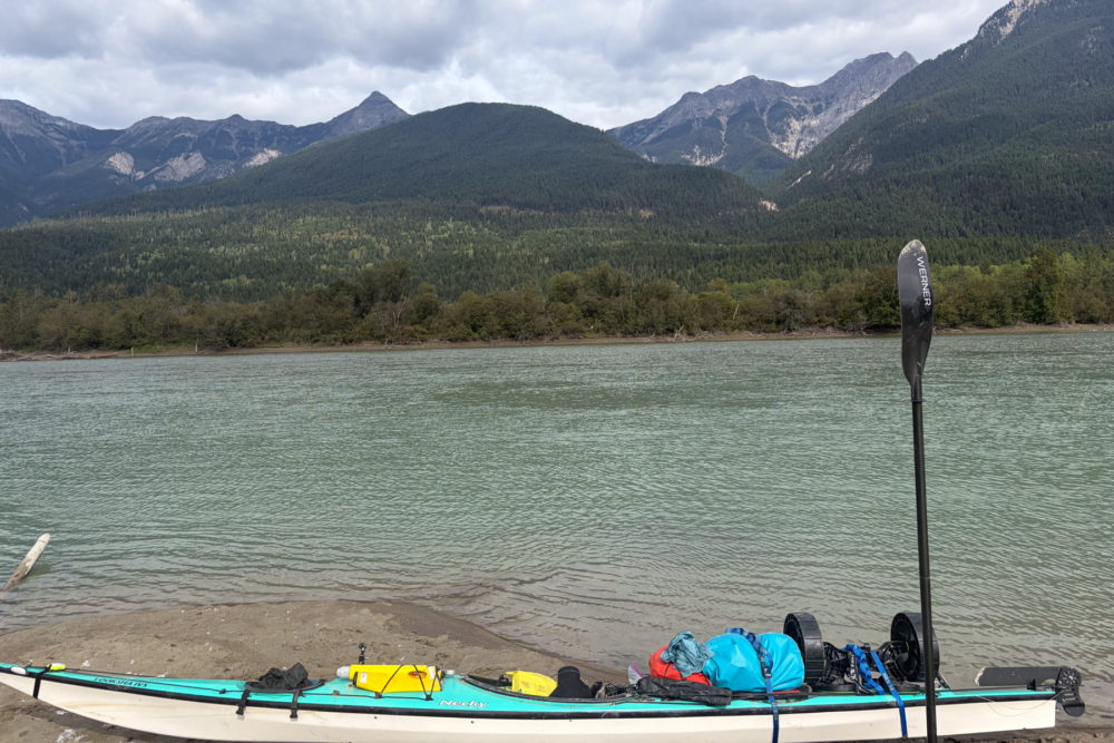
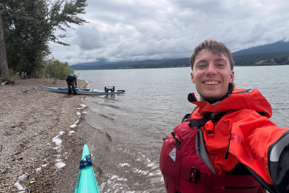
Today, September 4th, 2026, Oscar and I, both undergraduates at Dartmouth College, will take a hiatus from our studies to launch our sea kayaks onto Lake Columbia at the headwaters of the Columbia River, not to see a proper bed again until we reach the Pacific Ocean, 1,200 miles and two months away.
Oscar has been thinking about this trip for over two years, and I’ve been thinking about it for over six months since he first asked me to join him. Don’t worry, you’ll hear more about Oscar and how he created his brainchild during our next Duct Tape Diary—stay tuned. There was, however, one significant problem when I first agreed to join him: I didn’t know how to paddle.
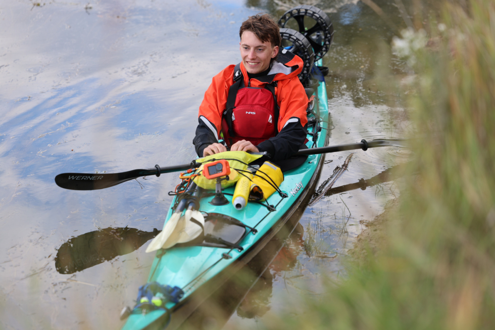
Okay, to claim that I didn’t know how to paddle is a bit of a hyperbole. I had paddled everything from paddleboards to kayaks at least once, and I used to work renting small boats at a beach shack. However, the scariest river I’d ever summoned the courage to tackle was the Stillwater River, which was… aptly named.
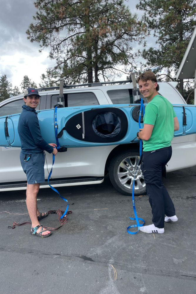
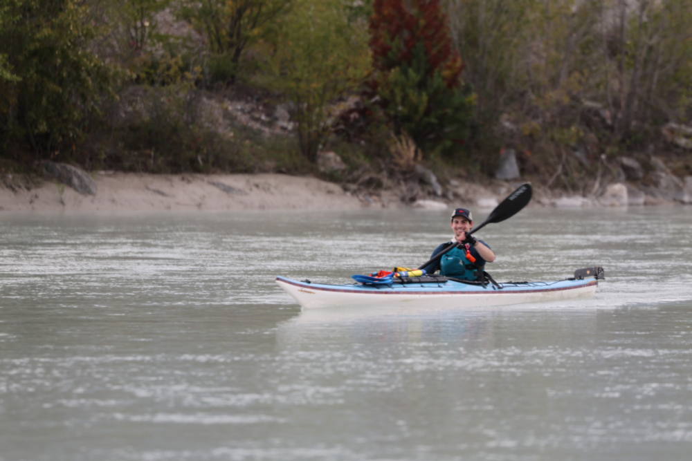
Over the past six months, I spent a lot of time between school and work getting taught everything I needed to know, either through Oscar himself, official certification classes, or on my own. This included everything from wilderness medicine to swiftwater rescue techniques to kayak rolls (AKA Oscar Waterboarding Me 101). A lot of this was done through Dartmouth College’s Ledyard Canoe Club, which provides a lot of opportunities for students to get on the water.
I feel very prepared going into the expedition now, and most importantly I feel prepared to be unprepared.
As part of the expedition, we are interviewing a diverse cast of characters who spend a significant portion of their lives with the Columbia and compiling the footage into a mini docuseries. Since I don’t get to interview myself, I wanted to share a little bit about my connection to the Columbia, discuss its geography, and explain how it informed our trip. Please excuse my vanity.
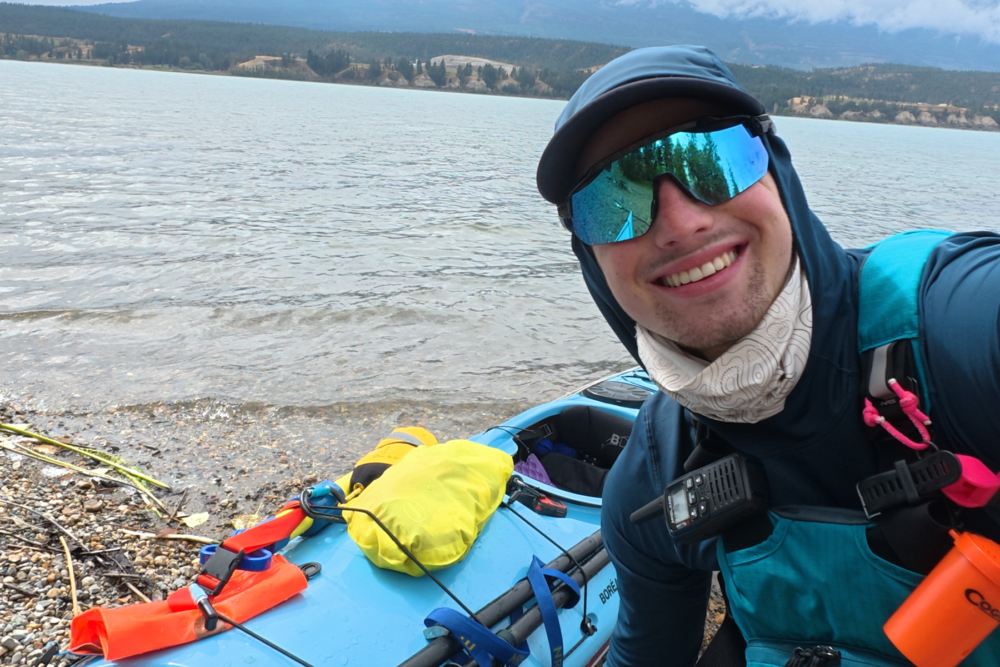
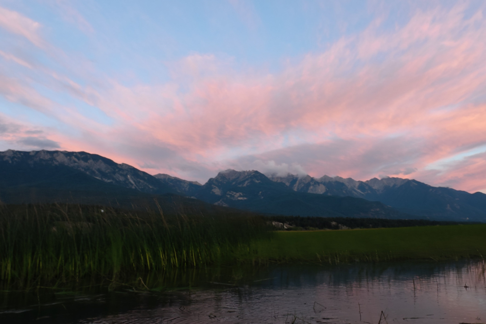
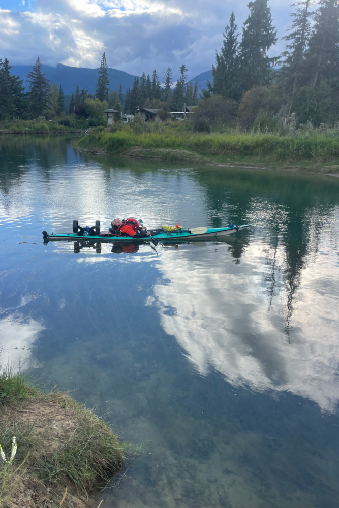
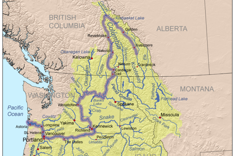
I was born in Portland, Oregon, and got shipped back and forth between there and Kalispell, Montana, until my family finally stayed in Portland for good. I was little when the road trips occurred and I can only remember the Columbia in little figments, all from the window of a car running back and forth on I-84. The Washington shore was so far across, and the giant orange bluffs on either side so steep.
Between the two, a mile of blue water churned and waves tipped over in white. Dozens of windsurfers bounced off of them and whirled around in the air, taking advantage of the same wind that powered the forests of wind turbines that spun above the bluffs. Every so often, the car swerved onto the rumble strips as the result of a powerful gust. Safe to say I was starting to warm up to this whole “looking out the window” concept that my dad kept telling me about whenever I whined about boredom.
This was the Columbia River Gorge, a large geographical section of the Columbia River where we will likely experience some of our hardest paddling (or even boat hauling) days. Thankfully, the rest of the river is more forgiving to paddlers. Below the Gorge, the river flows underneath bridges between Portland and Vancouver, then little delta systems splinter off the main channel as it approaches the Pacific. It keeps gaining width as it merges with the Pacific Ocean.
“Entering the ocean” would be an inaccurate description of the interaction between the two, as tides affect current up the river all the way back to the Gorge, and, by extension, paddling. The last point of shoreline before the ocean is Point Adams, just west of the famed Fort Clatsop, built by the Corps of Discovery. North of Point Adams is the Columbia River Bar, an underwater minefield of shallow shoals, shifted constantly by the currents and tides. The remnants of over 2,000 sunken vessels lie scattered at the bottom. It barely missed the cut for the itinerary.
Above the Gorge, the Columbia intermittently breaks into a series of violent and high-class rapids for hundreds of miles, sure to test the limits of our mighty but oh-so-tippy sea kayaks… is what I would say if I lived there one hundred years ago before the river was dammed 14 times over. While the dams on the Columbia produce a staggering 60% of the Pacific Northwest’s power, they have their drawbacks.
The salmon runs that used to cover the river in fish all the way upstream are significantly diminished thanks to the giant concrete walls blocking their spawning pilgrimage. Fish ladders and hatcheries along the river help to buoy numbers, but they can only do so much. On a personal and selfish note, walking around them with the boats will take forever. Character building!
The Snake River, a Columbia River tributary, contains decrepit dams that harm salmon and waste taxpayer dollars. Who knows how long we have before the Columbia’s dams will show their age? The dams create a slow-moving river system that rides the line between reservoir and waterway for a long time. Farmland and small towns dot the sides all the way up to the Tri-Cities, where the aforementioned Snake River confluences with the Columbia. Further north past the Tri-Cities is Hanford Reach, an EPA Superfund site contaminated with nuclear waste from the Cold War. We think they have aliens in there, too, but nobody has answered our emails.
Even further upstream, the farmland turns into forests, and the miles turn into kilometers. O Canada! The Columbia is now in the Canadian Rockies. A few dozen kilometers north of the border, the Kootenay River confluences with the Columbia. We haven’t seen the last of the Kootenay, though. During our border crossing, we will have to exit the river and walk through border patrol unless we want to become enemies of the state. I can only imagine how confused border patrol is going to be when they question us.
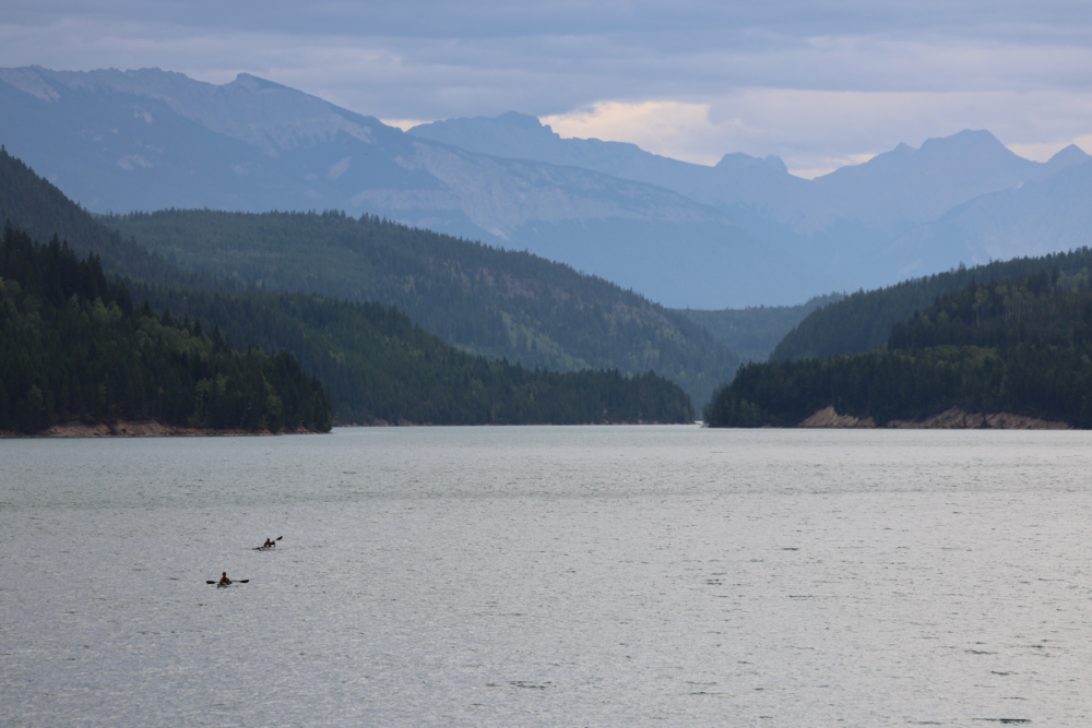
This first section of the Columbia sits firmly within the Rocky Mountains, with dense forests and wetlands blanketing steep river valley topology. The very first dam on the Columbia, Mica Dam, marks the separation between a human-altered waterway and a (mostly) untouched river. After a sharp U-turn south and a few long valley lakes, we come to Lake Columbia, the official headwaters of the Columbia River.
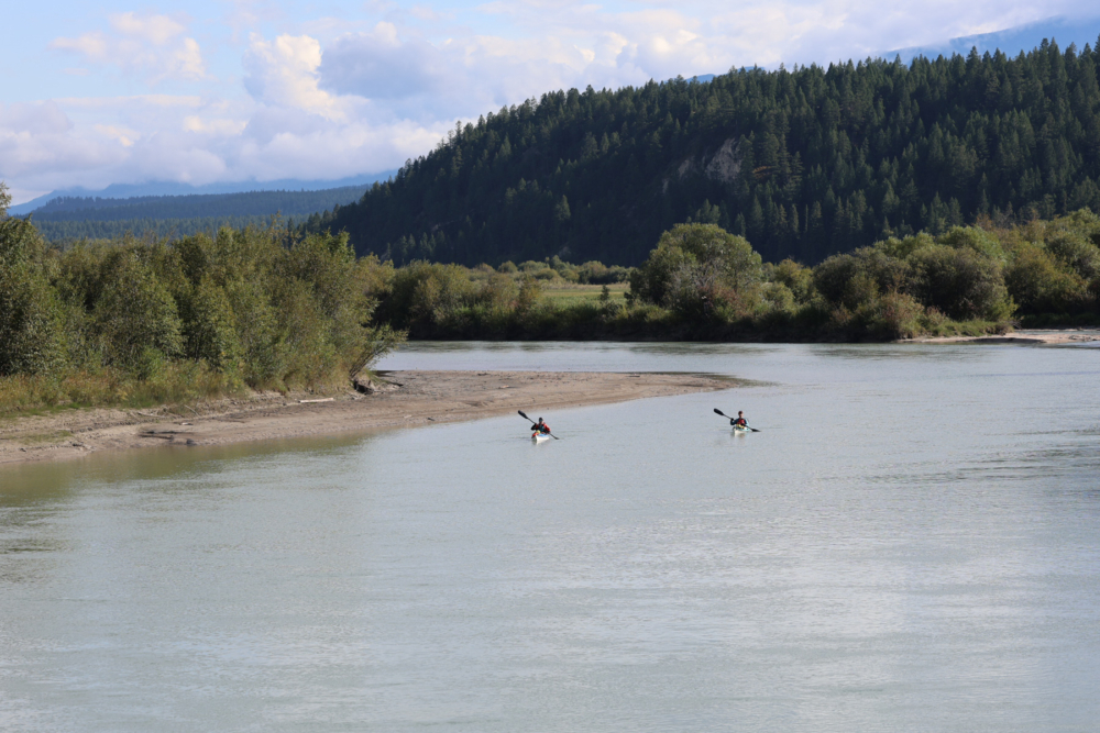
Now, if we really wanted to find the headwaters of the Columbia, we could mountaineer up to whatever the local high point is (and there are many contenders in the dramatic mountain scenery, most likely Mount De Smet to the west of the lake) and pour a glass of water off the top. If we go down that rabbit hole, then we might as well go the full monty and skydive out of the clouds (wait… maybe we missed a few ideas in our planning). Regardless, Lake Columbia will do just fine. It will do a lot more than fine.
We are staging the expedition at an Airbnb in the middle of Canal Flats, British Columbia, a beautiful mountain village on the south end of the lake. Just a mile away from Lake Columbia on the other side of town is a beautiful river known as the… Kootenay? That’s right, the only thing that separates our old friend from flowing into the headwaters of the Columbia is Canal Flats. Instead, it took a 400-mile 650-kilometer detour all the way down to Montana and back up again just to end up in the same place. I don’t blame it for visiting Montana though.
Now, after all the many hours of meticulous planning, we get to dive right back through the cathedral Canadian Rockies, through the vibrant valley wetlands, around the 14 dominating dams, through expansive Eastern Washington farmlands, through the haunting Hanford Reach, through the gusts of the Gorge, through the manmade metropolises of Portland and Vancouver, through the dangerous delta to the sea, and finally, through the massive mouth of the Columbia River Bar and off to the side of Point Adams. Then we’ll paddle our mouths through a salacious steak at the fanciest place we can find in Astoria, where we will be dining in full NRS gear.
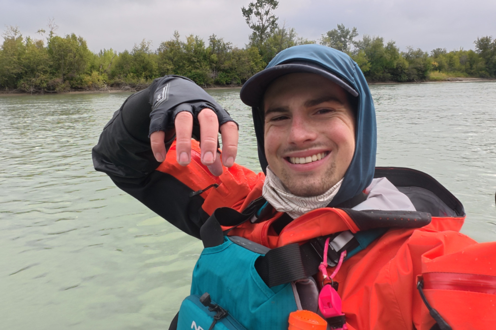
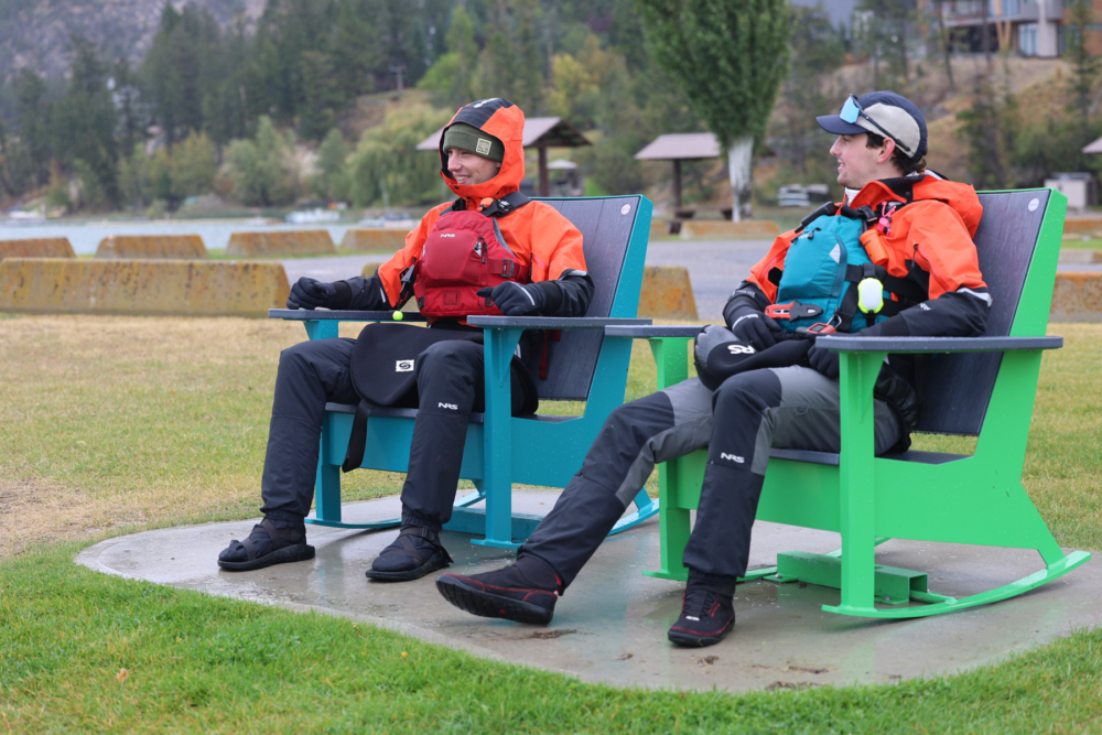
Going into today, the only constant of this trip I can expect is that things will go sideways on the Columbia, no matter all the hours spent planning and plotting and projecting and preparing. We might get a double case of trenchfoot and giardia. The Gorge might blow us all the way back to Canal Flats. I might start to weep every time I look in a mirror because my adolescent dreams of a magnificent man-mane start to look more and more like a scraggly little chin-beard after months without shaving. But the biggest thing that could go wrong is if nothing did at all. I’ve never told a story about a perfect trip.
***
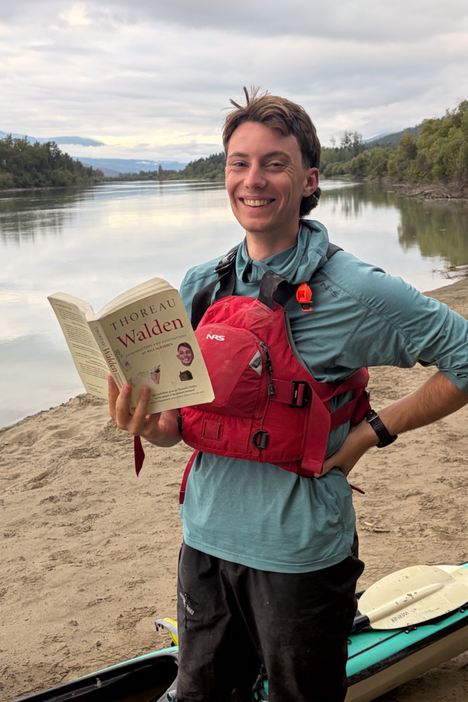
Jack Syverson is a sophomore at Dartmouth College in Hanover, New Hampshire, studying earth sciences and film. He was born in Portland, Oregon, and raised in Kalispell, Montana, where he cultivated his love of the outdoors. He enjoys adventuring miles more than studying, whether it be backpacking, skiing, running, fly fishing, hitchhiking, or even a teeny tiny little bit of paddling from time to time. Jack carries a copy of Walden with him on every adventure.
Oscar Seltzer is a 19-year-old junior double-majoring in math and economics at Dartmouth, where he grew up between Santa Barbara, California and the Big Island of Hawai’i. When he isn’t crunching numbers, you’ll find him freediving, whitewater kayaking, hanging out down at the Ledyard docks, or running canoe racing practice as the chair of Ledyard Racing and treasurer of the historic Ledyard Canoe Club.