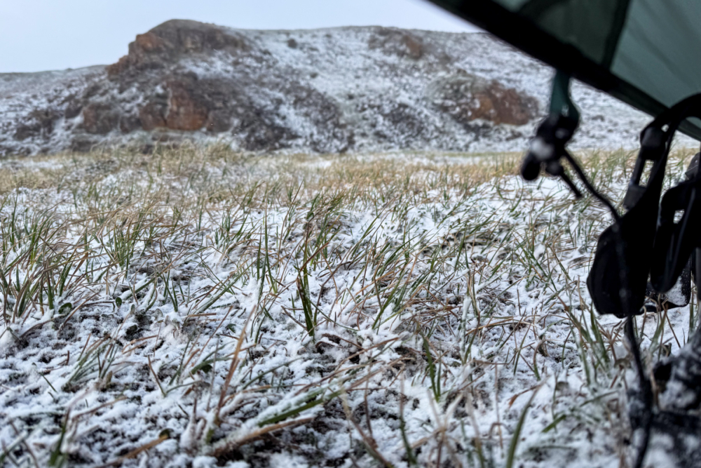
In part 1, Evan’s journey turns perilous as an unexpected storm halts the expedition with strong winds, snow and bitter cold. Behind schedule and with many challenges still ahead, Evan looks for inspiration to help him persevere.
***
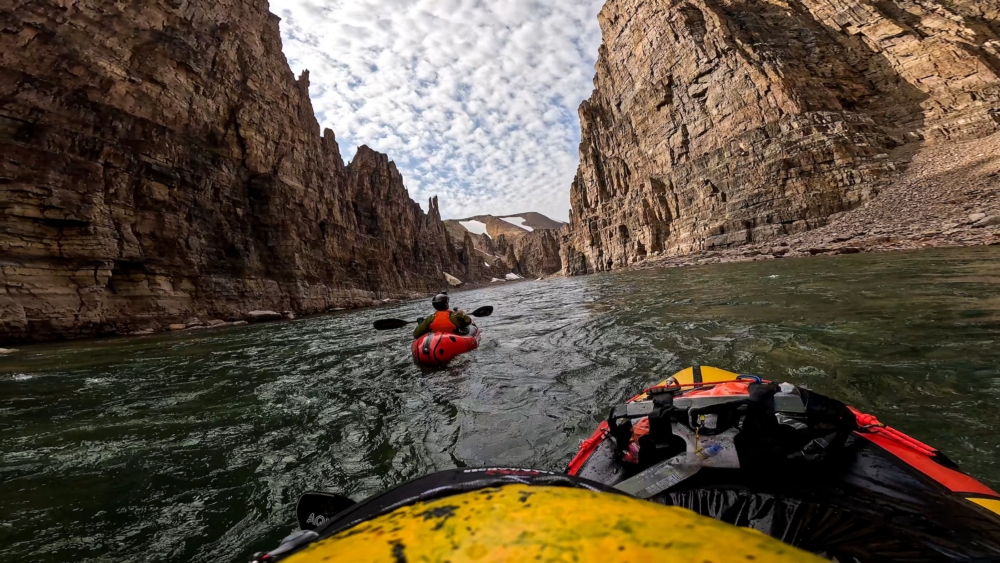
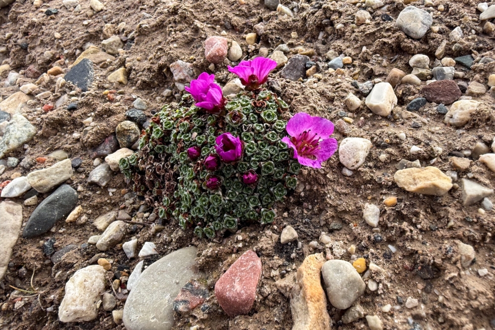
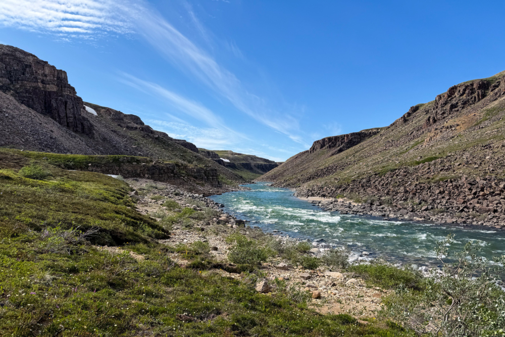
Winds still blow at about 30 km/h but are dropping as we push upwind to finish the last two kilometers of lake. The storm has raised water levels just enough to make the first few sets runnable. Walls rise around us like a Mars-scape of layered limestone, stacked in bands of ochre, brown, and gray that reach heights of 30 meters or more. Bright purple wildflowers seem to choose specific rock veins for their homes, creating vertical gardens on the cliff faces.
The paddling becomes everything we dreamed of: pool-drop rapids, clear emerald water, and stone formations that defy imagination. We thread the needle through boulder gardens, ride standing waves, and marvel at the geological artistry surrounding us. Before the trip, we wondered if anyone had ever paddled the water in this section since the glaciers created it.
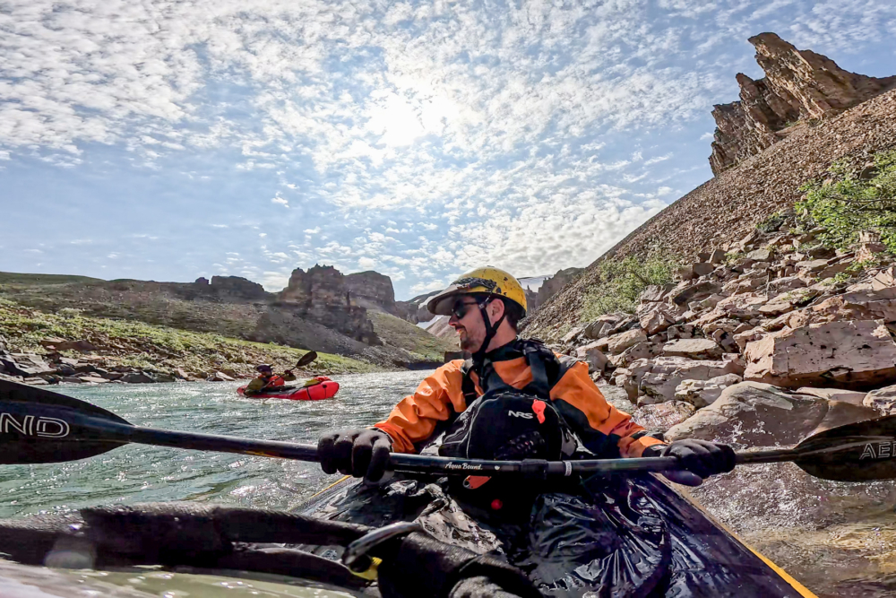
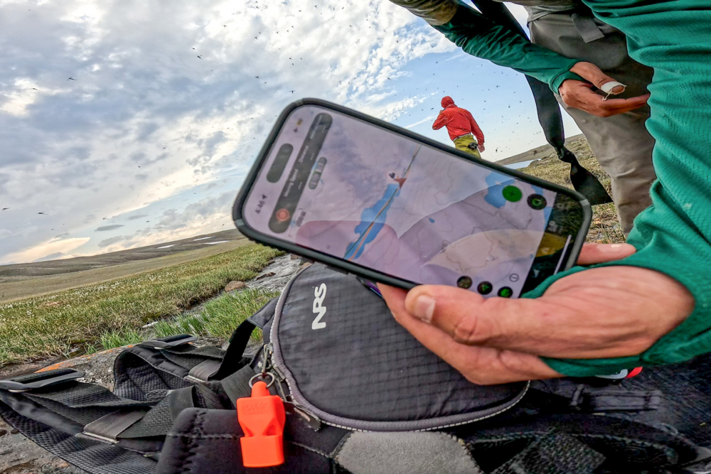
Lone ungulates watch us from the plateau above. We move downriver into more northwest wind and multiple “stasis in rapid” moments, sitting still due to the waves traveling upstream under the gusts. The canyon walls amplify wind like a subway tunnel. Small raptors, likely falcons, perch atop cliffs, curious about our passage. By day’s end, we’ve made nearly 25 kilometers and regained much of our lost time. The original plan was to be at this site for day six and seven, so we’re roughly back on track minus one safety day. I thank the heavens.
Right at the confluence where we set up camp, we hit our biggest rapid yet: a short class II+ with haystacks. River right: a high cliff drops into deep, cyan water warped by swift current. River left: a long field of manicured-looking grass stretches toward another Brock source we’d only seen in satellite imagery. That night, we camp near wildflowers and a pile of bones that remind me that bears frequent these lands too. While gathering anchor rocks that night, I uncover a wasp nest, but it’s inactive.
The mysterious horseshoe canyon section lies ahead, its depths hidden from our scouting attempts. Satellite imagery suggests class IV+ rapids, possibly waterfalls, with limited portage options in the sheer-walled canyon.
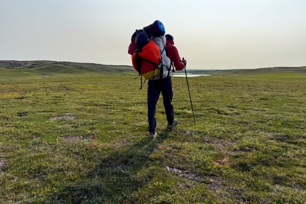
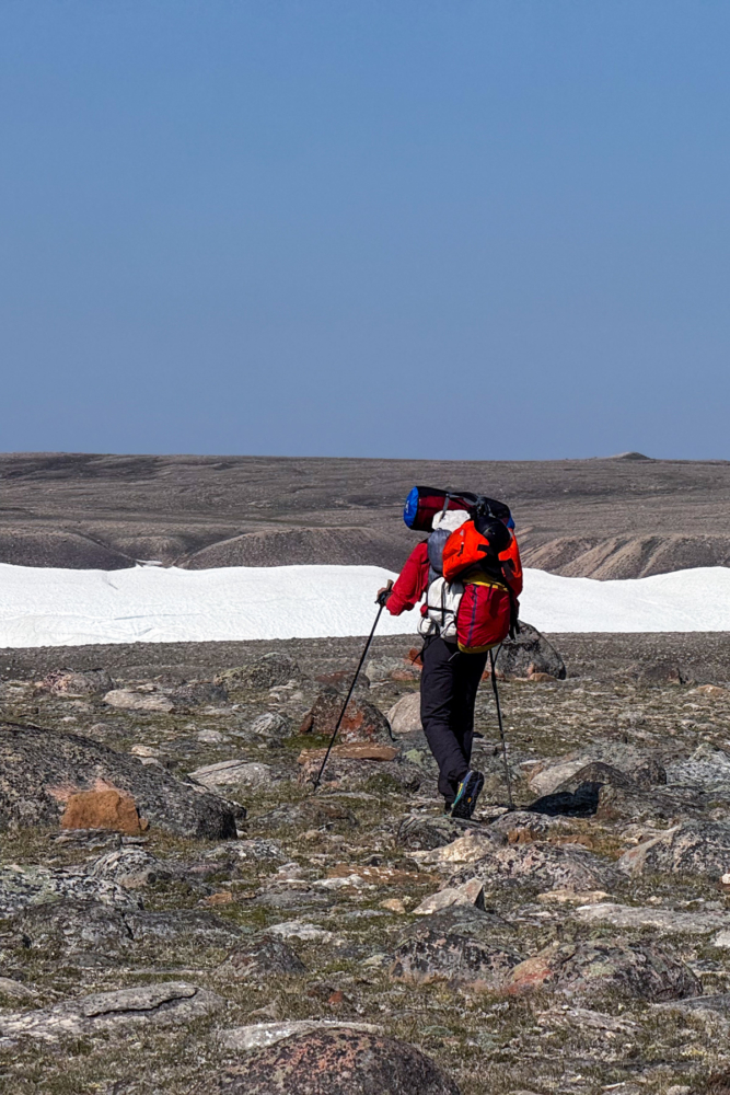
Wisdom, and my mother’s voice in my head, prevail over bravado. We execute a six-kilometer portage over the plateau, climbing 100 meters up a caribou trail and path created by erosion over many years. At the top, the horizon opens up to a 360° panorama that is about as flat as a hockey rink, and it’s as if the surface has been sanded down by a carpenter.
About five kilometers in, we find a grassy slope with the remnants of a creek and a route down previously pointed out to us by Brian. Standing on the plateau, we rest and recharge, staring at the canyon ahead. Thousands of mosquitoes cover us like fur as we descend the 30–45° slope with steeper pitches, serpentining through soft grass and moss to save our knees.
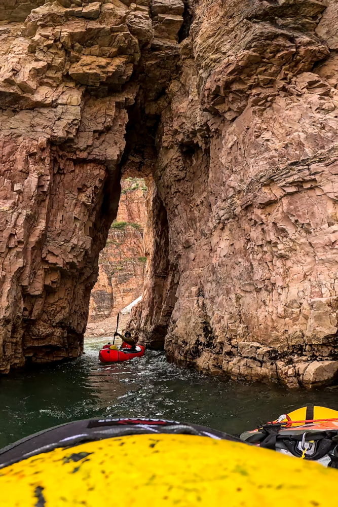
We rejoin the river below the horseshoe (a section of the river we named which indicates the crux), running multiple class II and III rapids and a short ledge feature. The walls around us stand nearly 10 stories tall with some areas that look as though a sneeze would cause them to collapse. We paddle through a tall and narrow hole carved in the wall, laughing as it feels like a Disneyland ride of sorts.
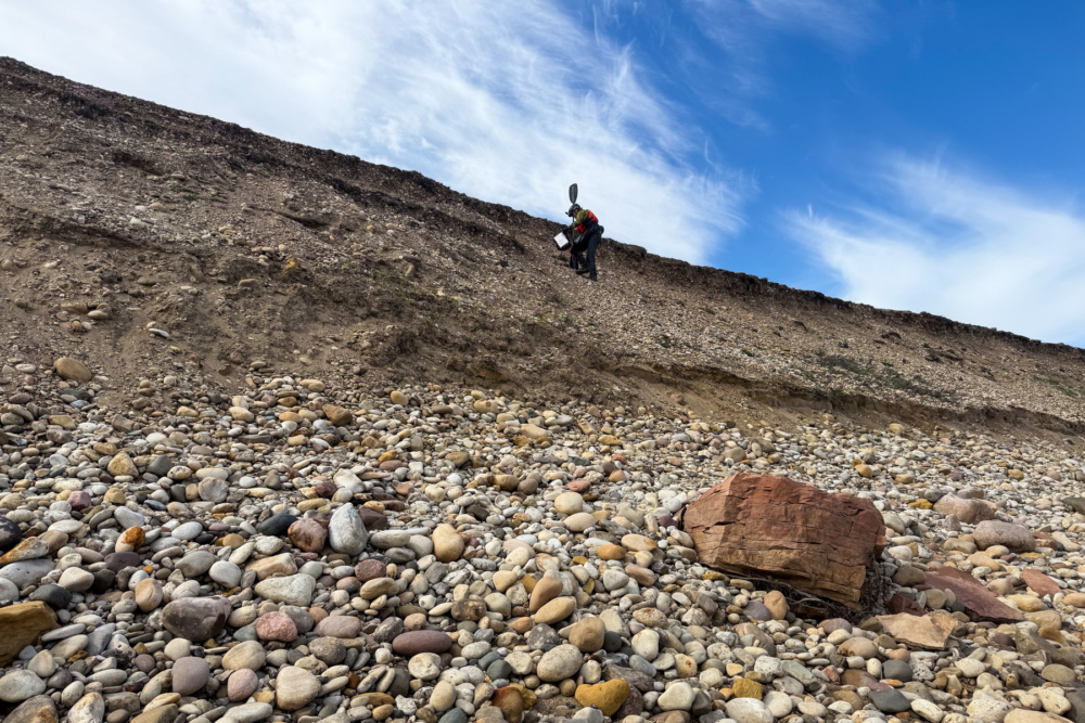
Tributary gorges pour in, looking like tracks made by a massive snowblower. Once the canyons open and the dolostone shifts to sandstone, the clear blue water turns silty brown with each inflow. At one left-hand bend, a 20-meter shale-like bank comes sliding aggressively into the river just below the rapid we are about to run, throwing a wave and dust cloud into the air. We run the rapid fast and far from the cliff, a stark reminder that the land is alive and dangerous, still actively reshaping itself.
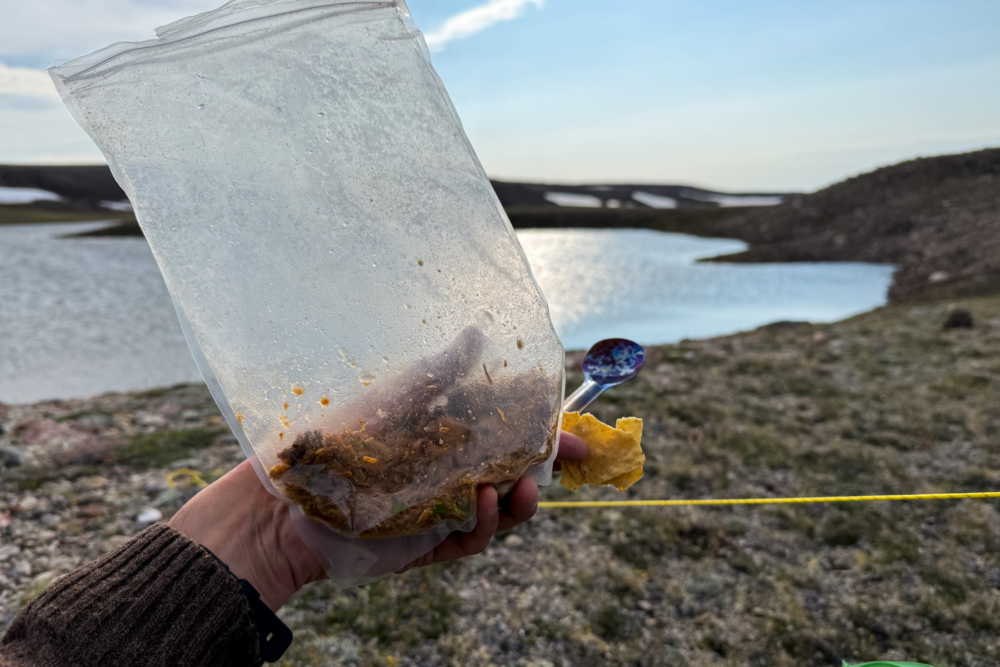
We keep our rafts inflated with packs strapped on top to hop lake-to-lake, dragging through gaps and poling beaver-cut channels with our kayak paddles. The beaver activity shocks us this far north, dams and lodges everywhere around the creek system, turning the water muddy and waste-rich. We note this to report to Paulatuk because of the risks it poses to drinking water and the local char fishing.
Halfway down First Creek, we have our most intense and magnificent wildlife encounter. A large grizzly sleeping in the mud just 25 meters ahead, right where we need to go. The moment Steve says, “Hey dude, is that a bear?” its cinnamon-brown head lifts. I freeze for a brief moment, then we stand together, bear spray ready, paddles raised high, making ourselves known through loud conversation.
Luckily, the bear examines us briefly before disappearing downriver in a hurry. Tracks in the mud show its quick pace. We keep up a steady chorus of singing and talking for the next several kilometers. Just to be safe.
Once we feel there’s enough distance between us and the bear, the final push begins: a grueling 15-kilometer march through ankle-breaking terrain. Beaver activity has transformed the creek into a maze of muddy channels, backed-up lakes, and treacherous tussock fields.
My ankle, fractured just over a year before in a climbing accident, screams with each step through the tussocks. Blisters the size of coins cover my feet but hold up under moleskin. Before leaving, my girlfriend, Phoebe, engraved my watch with: “Find strength with each breath,” and I repeat this mantra to myself with every painful step.
I try to get to a mental state where I can push as far as possible, as long as I stayed hydrated and fueled. I picture my family in danger and fabricate scenarios of my loved ones needing help. Anything to get me through this.
Steve guides us along this last land crossing; he is a professional ultralight hiker with lots of experience. Although we had our moments where we were frustrated with each other, I feel so grateful for Steve for helping me tap into the mindset needed for this section of the expedition. Having the right tripping partner can make all the difference in moments like this.
Eventually, a 10-meter cliff gives us a clear view of the Hornaday River. Our energy peaks as we finish the last few meters: hoots, hollers, dopamine, and 15 kilometers of slogging behind us at last.
The Hornaday River runs high compared to his previous time visiting, with fun rapids at every bend and easy lines. We cover 11 kilometers in just two hours, taking in the last of the whitewater thrills, then pull our rafts up a five-meter bank at the edge of Rat Lake using our throw bags. From there, we can see Darnley Bay and the Beaufort Sea—a view that feels like everything we’ve worked for.
We drag ourselves and our trip-worn packs up one last 50-meter hill to what we think is the Rat Lake Road pickup point. I unload all of my gear and collapse on the soft ground. We see headlights flashing far in the distance but not coming any closer. I soon realize we’re a few kilometers off from the official pick-up. Darn.
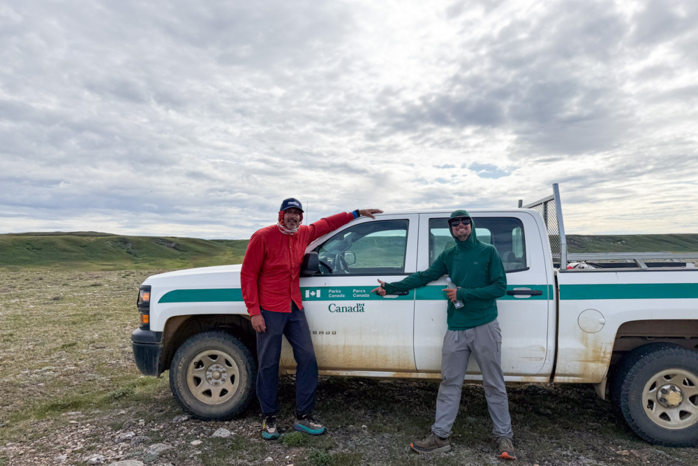
I muster up the very last of my energy and truck onwards towards the headlights in the distance and the promise of a warm shower. Craig Ruben from Parks Canada is waiting to meet us at the pick-up point and helps gather gear. Only a few years older than I am, and with a warm smile, he makes us feel welcomed and supported from the moment we shake hands.
We arrive at Northmart in Paulatuk just two minutes before closing. The shelves of food overwhelm us after two weeks of carefully rationed expedition meals. The simple pleasure of fresh bread and cheese feels like the greatest luxury imaginable. Once we are well stuffed, I try to wash the grime off my face, then collapse into the pillowy goodness of a real bed.
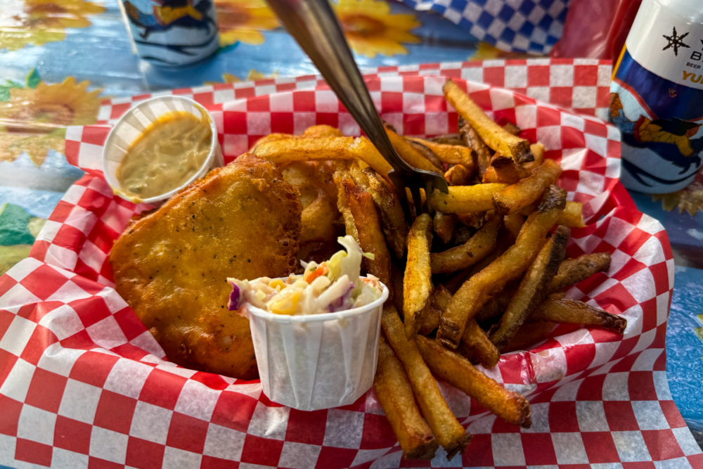
After a tour of Paulatuk by Craig, our journey home begins: Aklak Air from Paulutuk to Inuvik where we stay for fish and chips with beer, then Yellowknife to Edmonton. Steve heads to Toronto while I fly through Montreal to Ottawa.
Home, at last.
Weeks later, Jim and Brian check in via satellite. They’d skipped First Creek for a coastal Arctic Ocean route. Despite similar weather challenges, they managed to successfully complete the trip on schedule. On the plane ride in I remember them mentioning how seeing everything through my fresh perspective had rekindled their own passion for Arctic travel after dozens of expeditions. Equally inspired by them, I hope to get a few more dozen expeditions under my belt in my lifetime.
Thinking back, I came into this expedition feeling like all I could do was learn, with little to contribute. A total amateur. However, I’m hopeful that I brought value to my expedition partner, to Paulatuk by reporting the beaver activity, and hope that I can bring value though sharing my journey and route observations with the paddling community and scientists tracking environmental changes in the North.
I will dream about paddling through the incredible Brock River canyons for the rest of my life. The barriers we create in our minds are often more limiting than anything the natural world can throw at us. Sometimes you just have to put your head down, find strength with each breath, and keep moving forward.
***
Guest Contributor Evan Lefebvre is an Ottawa-based paddler who specializes in wilderness expeditions to remote locations. When not planning his next Arctic adventure, he can be found sliding canoes down snowy hills to reach open water in the Canadian winter. His observations from the Tuktut Nogait expedition have contributed to ongoing climate change research in Canada’s Arctic regions.